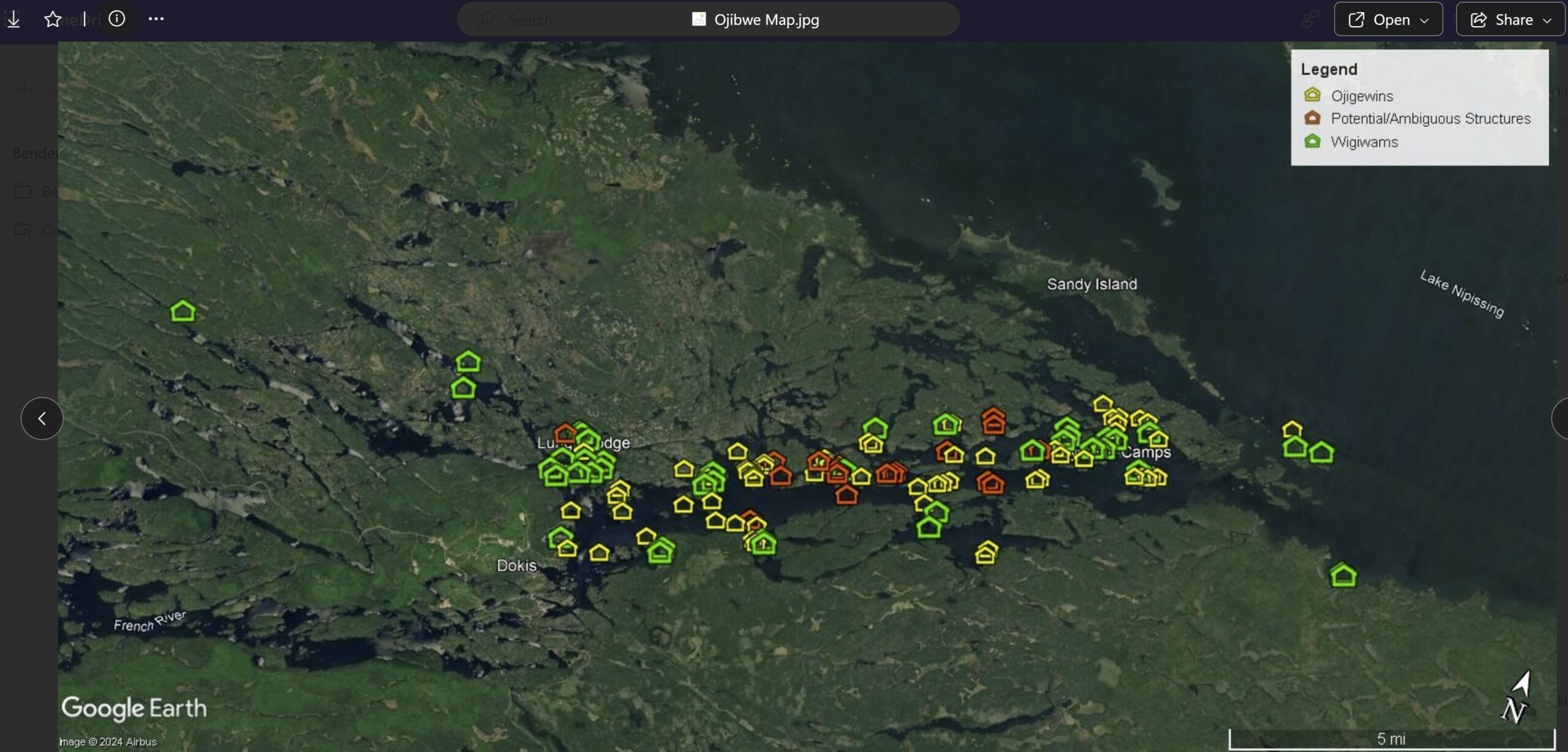
This map was gifted to Norm Dokis Jr from Gord Restoule so that it can be preserved for future generations. The map “is as is” and has not been altered and we don’t know the source of it.
There is no date on the map, and we can only speculate that it is from early 1900’s. The map’s intention is to describe where our people traditionally camped/lived and fished. The map describes some of the fish species in our language and some geological features.
We also used Google Earth to cross reference where things are.
Feel free to check it out and see what you can find!!